Surveying & mapping

Drones for surveying & mapping.

Connect an aircraft, camera, GNSS positioning and photogrammetry software around the data your project needs.

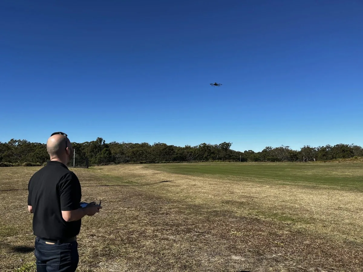
An operator flying ScanLift Orbit during a University of Tasmania field visit
An operator flying ScanLift Orbit during a University of Tasmania field visit. Original field archive.
Plan the complete setup

Surveying & mapping

Start with the area to cover, required ground sampling distance and deliverables. We can discuss the airframe, camera integration and positioning workflow together.

Choose the aircraft around the deliverable

Compare Patriot X4 and Kestrel X8 with the complete camera or LiDAR payload, mount and accessories. Define the required positioning, ground control and processing workflow before estimating coverage or accuracy.

Understand the measured endurance reference ↗

Start with these requirements

  • Area and terrain to survey
  • Required image resolution and accuracy
  • Camera, lens and total payload weight
  • Ground control and final data formats
Discuss this mission
Start with the deliverable

Match the aircraft to the mapping workflow.

These are project-planning considerations. Sensor suitability, integration and achievable results must be confirmed for your mission.

01

Construction progress

Set the area, repeat interval, image resolution and outputs: an orthomosaic, surface model or visual site record. Keep the capture and control method consistent between visits.

02

Topographic mapping

Define the terrain, vegetation, accuracy target and checkpoints. Decide whether camera photogrammetry, LiDAR or a combined workflow suits the required deliverable.

03

Corridor & asset surveys

Plan around access, route length, terrain and required image or point-cloud coverage. Include turns, transit, reserve and any required flight permissions in the mission plan.

The current range

Patriot endurance. Kestrel X8 configuration.

Designed in Australia. Manufactured in the USA and Australia.

Patriot X4: a measured endurance reference

The manufacturer-reported result is 68 minutes in hover, carrying 1.75 kg with a 40 Ah battery, to landing voltage. That payload mass is equivalent to a LiDAR USA scanning system. It is not a powered-sensor compatibility test.

Explore Patriot for mapping ↗

Kestrel X8: configure the shared airframe

Install the Kestrel coaxial arm set to change the shared platform to X8. At 1.75 kg payload, modelled mission time is 42 minutes with 40 Ah or 55 minutes with 52 Ah, excluding a fixed 10-minute reserve. These are estimates, not flight-test results.

Explore Kestrel X8 ↗

Both configurations use tool-free removable arms and landing legs. Include battery, sensor, mount and accessories when checking maximum take-off mass. The mission calculator checks the configured weight and estimates flight time.

Planning questions

Surveying drone questions.

Should I choose photogrammetry or LiDAR?

Choose around the deliverable and site conditions. Camera photogrammetry uses overlapping images to reconstruct visible surfaces; LiDAR measures ranges with laser pulses. Vegetation, required outputs, accuracy, sensor cost and processing all affect the choice.

Does RTK or PPK guarantee survey accuracy?

No. Positioning is one part of the workflow. Sensor calibration, capture geometry, reference data, processing and independent checks still need to be planned for the required result.

How much area can I map in one flight?

Coverage depends on usable mission time, transit, flight speed, height, sensor field of view, overlap, turns and terrain. Use a payload-specific flight estimate and a mission plan; a single endurance figure does not give a reliable area figure.

Let's talk about your mission

Your payload.
Our expertise.

Tell us what you need to carry, where you operate, and what success looks like.

Find your solution